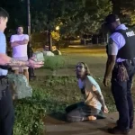
For the past five years, Trailnet’s annual Crash Report has tracked the risks that pedestrians and cyclists encounter on St. Louis streets. Starting in the city in 2020 and expanding to St. Louis County in 2021, this yearly report pinpoints high-risk corridors and analyzes patterns in casualties and injuries.
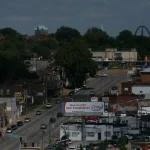
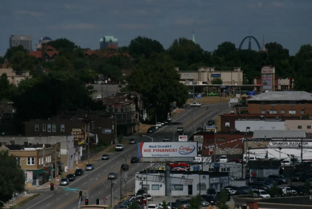
Released this morning, the 2025 report continues this dual mission. If you’re wondering about the most dangerous areas, the data shows Gravois Avenue in the city (with Grand Avenue second) and Lindbergh Boulevard in the county (with Chambers Road in second place) as the most hazardous corridors for pedestrians and cyclists in 2025.
Stay informed with breaking local news
We promise not to send you spam or intrusive emails. You can unsubscribe anytime.
However, the report adopts a broader perspective. Renamed “The State of Our Streets,” it moves beyond simply warning of danger to highlight the infrastructure improvements being implemented by local governments to reduce vehicle speeds and create safer conditions for all road users. This includes $46 million in traffic-calming initiatives in the City of St. Louis funded through American Rescue Plan Act dollars, as well as new strategies from MoDOT across the broader region.
MoDOT has traditionally overseen major roadways throughout the city and county. In 2024, according to Trailnet CEO Cindy Mense, the agency released a “Blueprint for Arterials” that provides standards for protected intersections and traffic-calming strategies—representing a significant shift in regional street design practices. This evolution is why Trailnet has shifted its focus from simply reporting incidents to documenting solutions. “We’re encouraged by the progress we’re seeing,” says Mense.
Key achievements from 2025 include:
- 95 St. Louis County projects featuring bicycle or pedestrian enhancements received federal support.
- Construction began on ARPA-funded calming measures across 30 miles of high-crash arterials in the city.
- The city added 5 miles of bike lanes, protected cycle tracks, and greenway connections.
Progress, however, often faces setbacks. MoDOT removed traffic-calming bumpouts on Clarkson Road in Chesterfield following resident complaints. A roundabout slated for Oakville in South County was cancelled due to neighborhood opposition. Downtown St. Louis saw some bumpouts removed recently after concerns about increased congestion following a Cardinals game.
Mense believes scenarios like the Clarkson Road situation highlight the need for public education about traffic safety. “Our priority is helping people understand streets differently,” she explains. “Our transportation network functions as a system, and that system has not adequately protected vulnerable road users.”
There are also concerning trends: Cyclist crashes increased in the city. Although pedestrian deaths and injuries declined, the report notes that “2025 recorded a significant rise in cyclist-involved crashes, with three cyclists killed in the past year.” This represents a change from the previous two years, which saw zero cyclist fatalities.
The county experienced a different pattern: pedestrian fatalities decreased, but cyclist fatalities rose from zero in 2024 to two in 2025. Both pedestrian-involved crashes and injuries went up.
Mense remains optimistic that newly implemented traffic-calming features rolling out in 2025 and 2026 will help reverse these numbers. She notes, “Sure, a single bumpout might inconvenience you, but combined with other measures—like a no-right-on-red signal and lower speed limits—they work synergistically. They reduce traffic speed and make pedestrians, cyclists, and people using wheelchairs more noticeable. My hope is that when residents see their streets transform, they’ll understand our commitment to making them safer for everyone.”
The report highlights one area where improvement is evident: bicycle infrastructure. Combined, the city and county now have 724 miles of bike-friendly infrastructure, with 155 miles running alongside streets (as opposed to separated paths and trails). This number has grown consistently over time, though Trailnet points out that cyclists often lack adequate protection.
“Painted lane markings and signs alone typically don’t constitute proper bicycle infrastructure and cannot ensure safe biking on faster or busier streets,” the authors explain. “However, these markings reflect an increasing demand for secure biking options and pave the way for enhanced, safer facilities like protected cycle tracks, neighborhood bike routes, and separate paths.”